Explore About Navionics & Its Products
Navionics is a leading provider of electronic navigational charts and marine and lake content for recreational boating and fishing. They offer a wide range of marine navigation products that help boaters and fishermen navigate and explore the waters with ease and confidence.
Why Consider Choosing Navionics Over Its Competitors
Highly accurate and detailed charts for marine and lake navigation
Advanced features like SonarChart, Dock-to-dock Autorouting, and plotter sync
Easy-to-use and intuitive navigation software
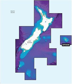
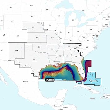
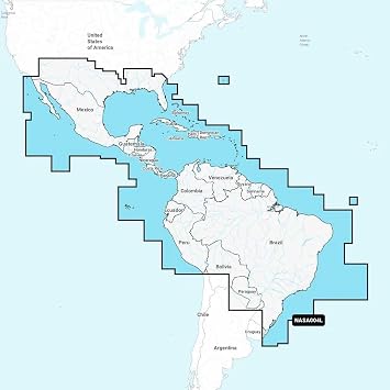
Comprehensive coverage of coastal and inland waterways worldwide
Regular updates and community contributions for up-to-date information
Where to Buy Navionics Products Online in Fiji?
You can buy Navionics products online from Ubuy, a leading ecommerce store that offers a wide range of marine navigation products. Ubuy provides a convenient and reliable platform for purchasing Navionics products, ensuring a seamless shopping experience.
Top Trending & High Rated Products of Navionics
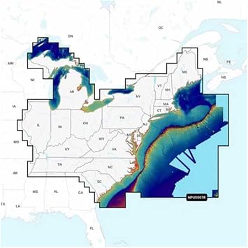
Navionics+
An all-in-one package that combines marine and lake charts with advanced features like SonarChart, Dock-to-dock Autorouting, and plotter sync. It provides comprehensive coverage for coastal and inland waters.
Navionics Platinum+
An enhanced version of Navionics+ with even more advanced features like satellite overlay, 3D view, and panoramic photos. It offers the ultimate navigation experience in coastal and offshore waters.
Navionics HotMaps Platinum
Specifically designed for freshwater fishermen, it provides detailed charts for more than 18,000 lakes and water bodies in the United States. It includes features like SonarChart, community edits, and more.
Navionics Ski
Designed for water skiers, it provides detailed lake maps with slalom courses, jump ramps, and major water skiing lakes worldwide. It helps water skiers find the perfect spot for their favorite activities.
Common Questions Asked by Customers About Navionics & Its Products
Are Navionics charts compatible with different chartplotters?
Yes, Navionics charts are compatible with a wide range of chartplotters from major brands like Garmin, Lowrance, Humminbird, Raymarine, and more.
Do Navionics charts provide real-time weather updates?
No, Navionics charts focus on marine and lake navigation information and do not provide real-time weather updates. However, some chartplotters may offer weather integration.
Can I use Navionics charts on my smartphone or tablet?
Yes, Navionics offers mobile apps for iOS and Android devices that allow you to access their charts on your smartphone or tablet. These apps provide similar features to their chartplotters.
Are Navionics charts available for international waters?
Yes, Navionics provides comprehensive coverage for coastal and inland waters worldwide. Their charts include international waters, making them suitable for global navigation.
How often are Navionics charts updated?
Navionics charts are regularly updated with the latest data and user contributions. They typically release several updates throughout the year to ensure accuracy and provide the most up-to-date information.